At this outing, June 18, on the Agua Fria National Monument we're looking to compile 18 teams of 2-4 volunteers to walk the stream channel (2-5 miles) to document where surface water begins and ends. Requires use of a Garmin GPS unit and completion of paper data forms. The WD training will be held Saturday morning, June 4 at BLM. Prepare for hot conditions.
For more information email Tim Flood at tjflood@att.net.
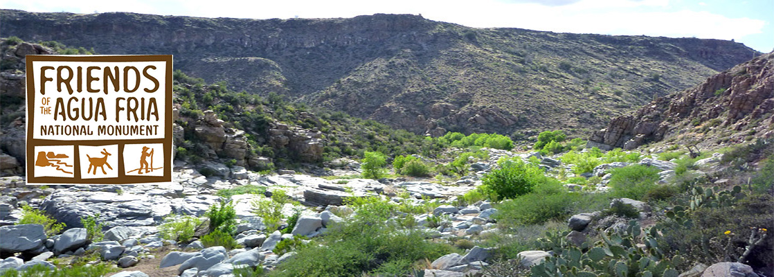
Friends of Agua Fria National Monument
P.O. Box 290
Black Canyon City, AZ 85324
© Copyright 2022
All Rights Reserved